Tasmania Road Trip Itinerary: Hiking East to West Through National Parks
We have visited Tasmania several times, but this Tasmania road trip itinerary stands out as one of our most memorable journeys. Starting on the east coast with a day trip to Maria Island National Park, we continued north to the turquoise bays of the Bay of Fires and the granite peaks of Freycinet National Park. From there, we explored the dramatic landscapes of the Western Tiers and hiked through the alpine wilderness of Walls of Jerusalem National Park, before finishing in the remote rainforests of the Tarkine on Tasmania’s wild west coast.
This east-to-west adventure blends coastal walks, alpine hikes, wildlife encounters and quiet campsites — a true immersion in Tasmania’s diverse national parks and wilderness.
Table of contents
- Maria Island National Park
- Freycinet National Park
- Bay of Fires
- Western Tiers
- Walls of Jerusalem National Park
- Tarkine Wilderness
Maria Island National Park
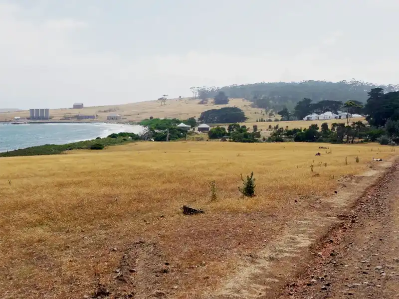
Maria Island is a stunning island off the east coast of Tasmania. The island can only be accessed by a ferry. It is known for there long sandy beaches, fantastic cliffs, abundant wildlife and rich history. The ferry trip from Triabunna to Maria Island takes about 30 minutes, though the sea can sometimes be quite rough. Once on the island, we spent half a day exploring its fascinating landscapes and rich history before returning to Triabunna.
Maria Island Visitor Guide – What You Need to Know Before You Go
Planning a trip to Maria Island? This remote island off Tasmania’s east coast is famous for its wildlife, convict history, and spectacular coastal walks — but it’s also a self-sufficient destination. There are no shops, cafés, or bins, so visitors must bring all food, carry out all rubbish, and treat or boil drinking water. Whether you’re staying overnight in the historic Darlington Penitentiary or visiting on a day trip, proper preparation is essential for a safe and enjoyable Maria Island experience.
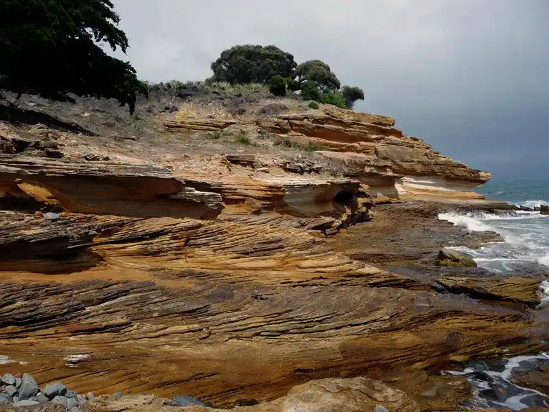
First, we hiked to the Painted Cliffs, one of Maria Island’s most popular attractions. Accessible only for a few hours around low tide, these stunning sandstone formations have been sculpted by wind and waves over time. Iron-rich groundwater created stain streaks of orange, red and purple into the cliff, a beautiful natural masterpiece.
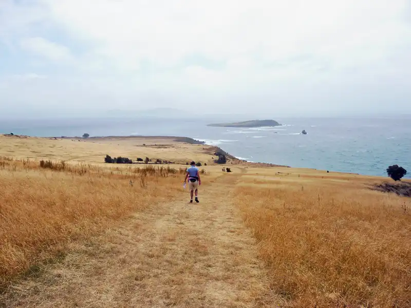
Maria Island offers a wide range of walking options, from easy coastal strolls to challenging multi-day hikes. We chose the Painted Cliffs Loop, one of the most popular Maria Island walks, and spent just under two hours exploring its striking sandstone formations. It was the perfect introduction to the island’s dramatic coastline and remote natural beauty.
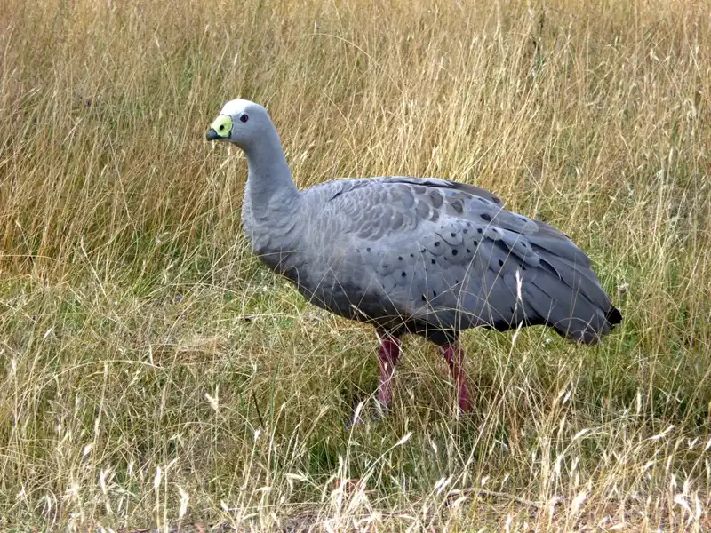
While hiking, we also saw Cape Barren geese. They once considered one of the rarest geese in the world, were introduced to Maria Island to secure their survival, and the destination was named Tasmania’s Noah’s Ark in the 1970s. Today, it’s an island sanctuary and one of the best places in Australia to observe wombats, Tasmanian devils, Cape Barren geese, kangaroos, wallabies and wombats.
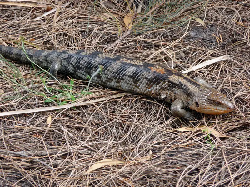
We didn’t spot any kangaroos or wallabies on our hike; they were all hiding in the long grass, waiting for sunset. However, we were lucky enough to encounter a Blotched Blue-tongued Lizard. It was noticeably larger and stockier than the blue-tongues we usually see back home on the Central Coast of NSW!
Back to table of contents
Freycinet National Park
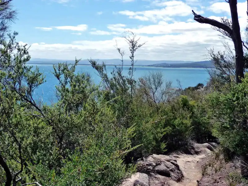
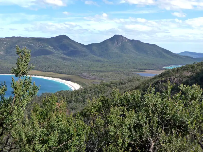
On our Tasmania road trips, we’ve rarely missed visiting the spectacular Freycinet Peninsula. With its pink granite peaks, turquoise bays and white sandy beaches, Freycinet National Park is a highlight of any East Coast Tasmania road trip.
The famous Wineglass Bay Walk is a must, but there are many other rewarding Freycinet hikes, scenic cruises, and sea kayaking opportunities. Golfers can even enjoy a round at the Freycinet Golf Club overlooking Great Oyster Bay.
The seaside town of Coles Bay is the gateway to the park, with accommodation ranging from campsites to luxury lodges. Over the years, we’ve stayed in a tiny tent inside the park, in our motorhome at BIG4 Iluka on Freycinet Holiday Park, and — when everything was booked out — based ourselves in nearby Swansea or Bicheno to explore the peninsula.
There are several beautiful hikes in Freycinet National Park, but our absolute favourite is the Wineglass Bay and Hazards Beach Circuit (Grade 4, 11 km, 4–5 hours).
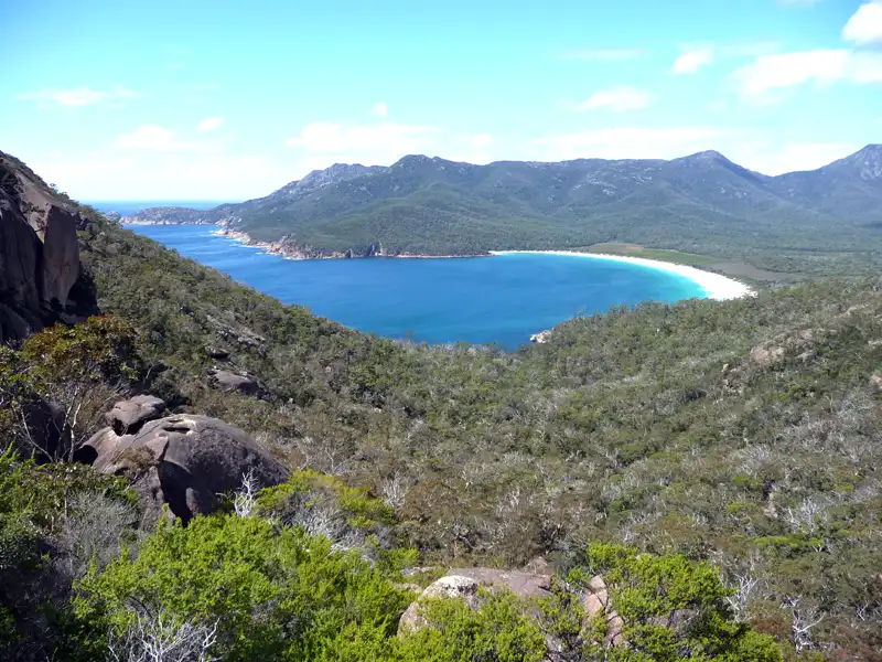
The walk begins with a steady climb to the famous Wineglass Bay Lookout, where you’re rewarded with that iconic postcard view. From there, the track descends to the white sands of Wineglass Bay. Crossing the wide isthmus, you reach the long, quiet stretch of Hazards Beach before returning through coastal forest along Great Oyster Bay to the car park.
We’ve completed this circuit three times — always in the same direction. Why? We’re not entirely sure. Perhaps we simply enjoy finishing with the toughest climb back up to the lookout.
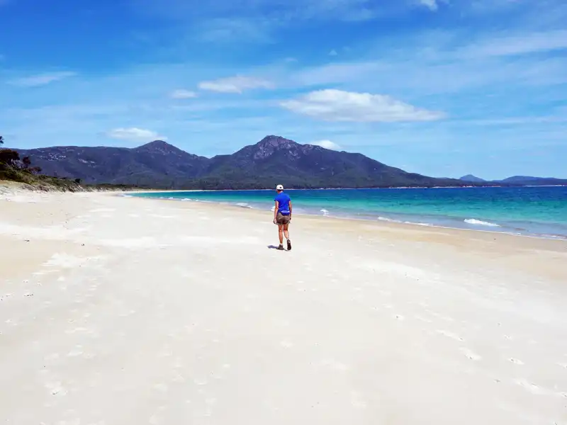
Walking along Hazards Beach is a peaceful experience, with long stretches of sand, gentle waves, and views across Great Oyster Bay. It’s often far quieter than Wineglass Bay, making it a perfect spot to slow down and enjoy the coastal scenery.
If you’re looking for a longer adventure, you can continue on the Freycinet Peninsula Circuit — a challenging 31 km, 2–3 day walk that circles much of the peninsula and includes remote beaches, coastal heathland, and overnight camping.
The track from Hazards Beach to Wineglass Bay across the isthmus is mostly flat and easy to walk. However, when passing Hazards Lagoon and the surrounding wetland area, sections of the trail can become sandy and muddy after rain.
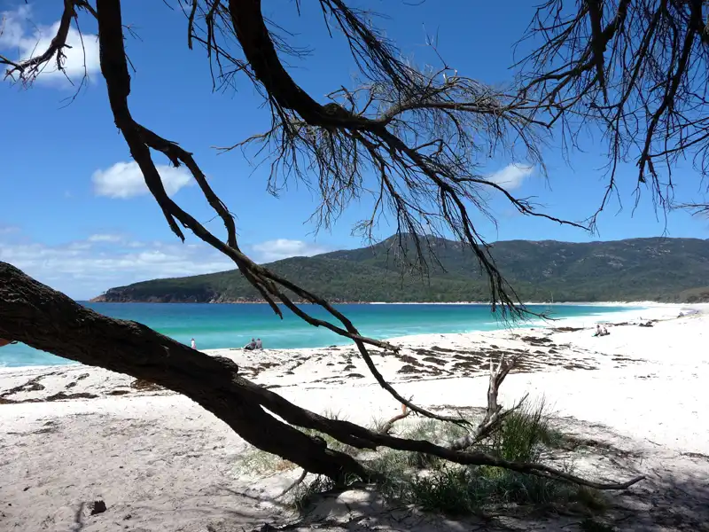
We took a well-earned rest at the stunning Wineglass Bay, soaking in the crystal-clear waters and brilliant white sand. It’s one of those places where you simply want to pause and enjoy the view. Afterwards, we tackled the steep climb — around 1,000 steps — back up to the famous lookout for one last breathtaking panorama.
We didn’t follow the recommended clockwise direction — saving the hardest part for last — but somehow we still managed a record time on the steep ascent. A strong westerly wind was blowing thousands of mosquitoes from the lagoon and wetlands straight onto the track. We had only two options: run… or be eaten alive.
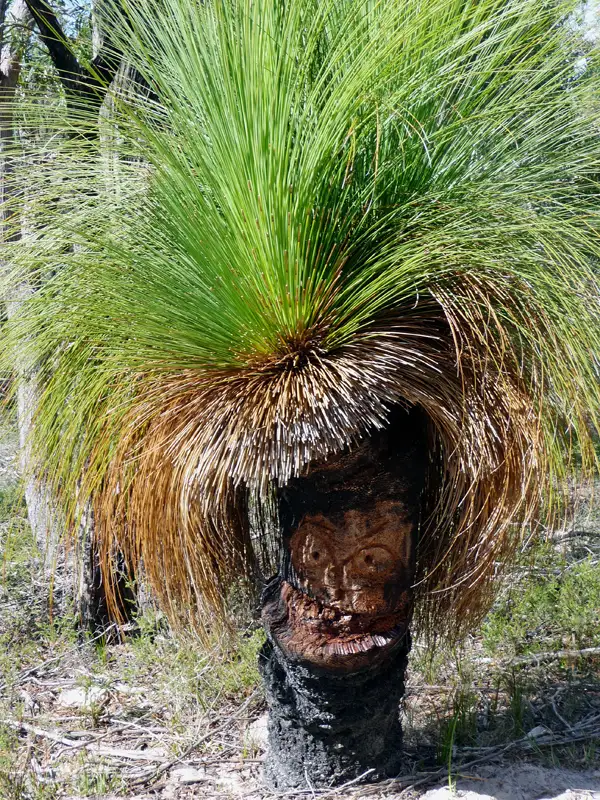
A very interesting Grasstree on the Wineglass Bay and Hazards Beach Circuit
Apsley Gorge
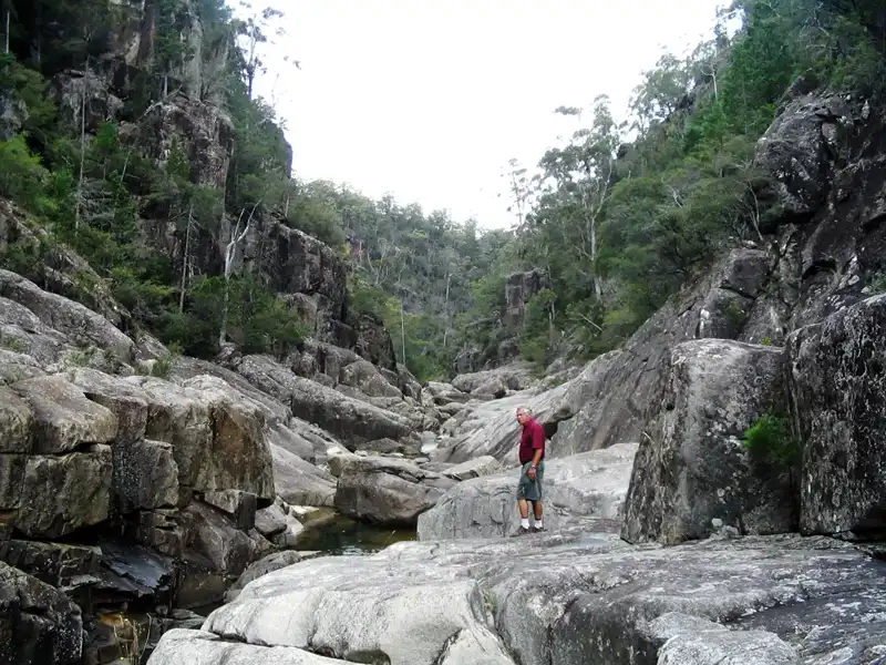
On Tasmania’s East Coast, we tackled the challenging Apsley Gorge Circuit hike. This eight-kilometer, four-hour trek begins with an easy walk before leading into rugged terrain, where we scramble through deep river gullies, past waterfalls and tranquil waterholes. Finding the exit proved tricky, adding to the challenge of this hike.
Back to table of contents
Bay of Fires
We based ourselves for a few days in St Helens, a relaxed coastal town of around 2,000 people and the main gateway to the spectacular Bay of Fires on Tasmania’s east coast. With a good range of accommodation, friendly pubs and restaurants, and a strong reputation for game fishing and fresh oysters, St Helens is a great base for exploring the region.
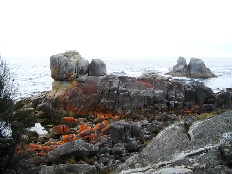
The area is famous for its beaches and water activities, but for us, the real highlight is the hiking. The Bay of Fires walks stretch along the coastline from Binalong Bay to Eddystone Point, offering endless white sandy beaches, crystal-clear turquoise water, and the iconic orange-hued granite boulders that define this unique landscape. You could easily stay for weeks and never walk the same trail twice — one of the reasons the Bay of Fires is one of the best places to visit on Tasmania’s east coast.
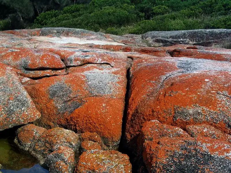
When we first heard the name “Bay of Fires,” we assumed it referred to the striking orange lichen that coats the granite boulders along the shore. But we were wrong. The bay received its iconic name in 1773, when Captain Tobias Furneaux sailed past and observed numerous Aboriginal fires burning along the coastline, illuminating the night.
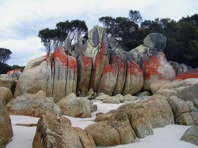
There are spectacular places with amazing colourful rock formations.
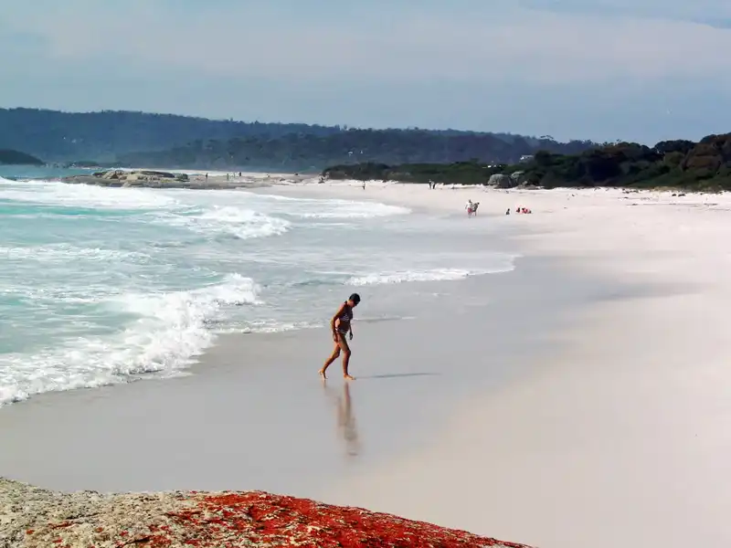
in the Bay of Fires, we walked along pristine white sand beaches beside the shimmering turquoise waters and took a refreshing swim in the cool, clear waters of Binalong Bay.
Back to table of contents
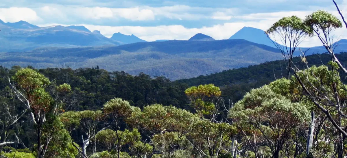
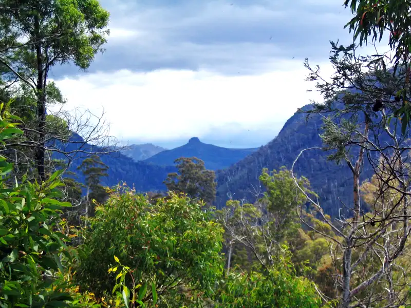
Western Tiers
The Western Tiers in northwest Tasmania is a hiker’s paradise. There are countless tracks through temperate rainforest, dolerite cliffs, and stunning lakes and waterfalls. We explored this beautiful region multiple times from the charming town of Deloraine. The Walls of Jerusalem National Park is a spectacular and remote alpine region with no road access. There are fantastic hiking opportunities, but most trails require an overnight stay. Hikers must carry a tent and supplies
We stayed in Deloraine several times, as it makes an excellent base for exploring Cradle Mountain, Mole Creek, Liffey Falls, and the Central Highlands. Beyond its great location, we also enjoyed its vibrant arts scene, antique and craft shops, charming cafés, and nice pubs. When we needed a break from hiking, we took on the challenge of the local 9-hole golf course.
The hike to the Meander Falls begins alongside the lovely Meander River, followed by a steep climb through the forest to the waterfalls. Then It’s a tough and steep Grade 3 hike (10km, 6 hours). Be mindful of snakes we saw three in the lower section of the trail.
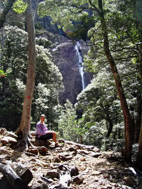
The top of the Meander Falls is over 1000 metres above sea level. This was a fantastic spot for picnic lunch, with a spectacular view of the 130m high falls.
Back to table of contents
Walls of Jerusalem National Park
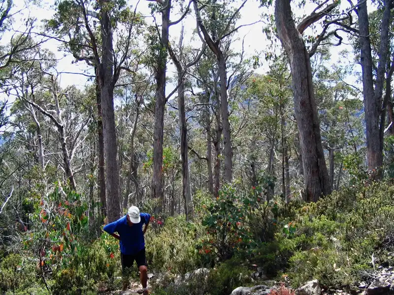
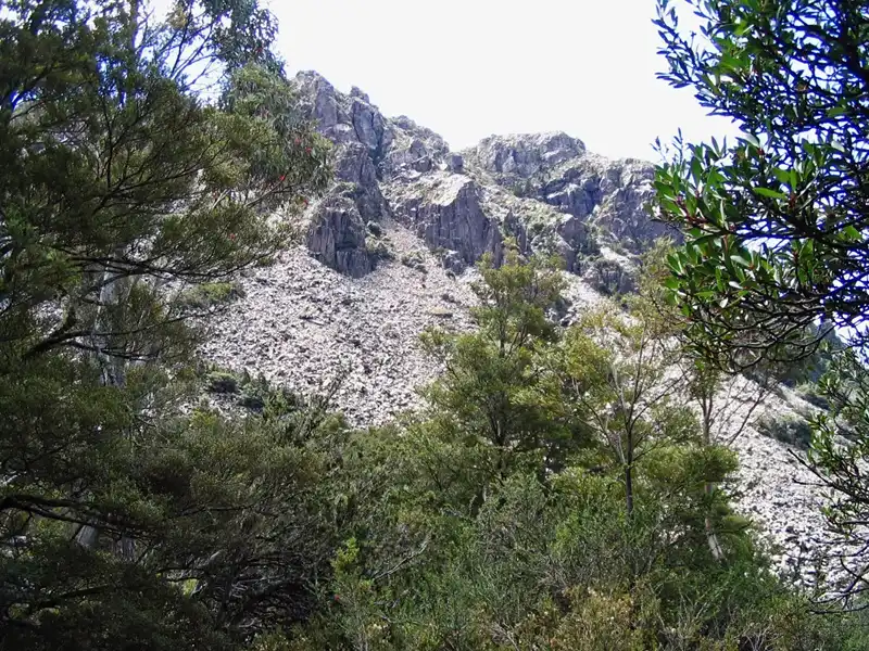
During our time in Deloraine, we never attempted an overnight hike in the Walls of Jerusalem we preferred the comfort of nice accommodation over sleeping in a small tent. We’re simply too old for that! However, we still wanted to experience the park, and we decided to do a day hike instead. In hindsight, it wasn’t the best idea. The first section of the track to Trapper Hut is the toughest, with a relentless ascent gaining 380 metres in just 2.5 km.
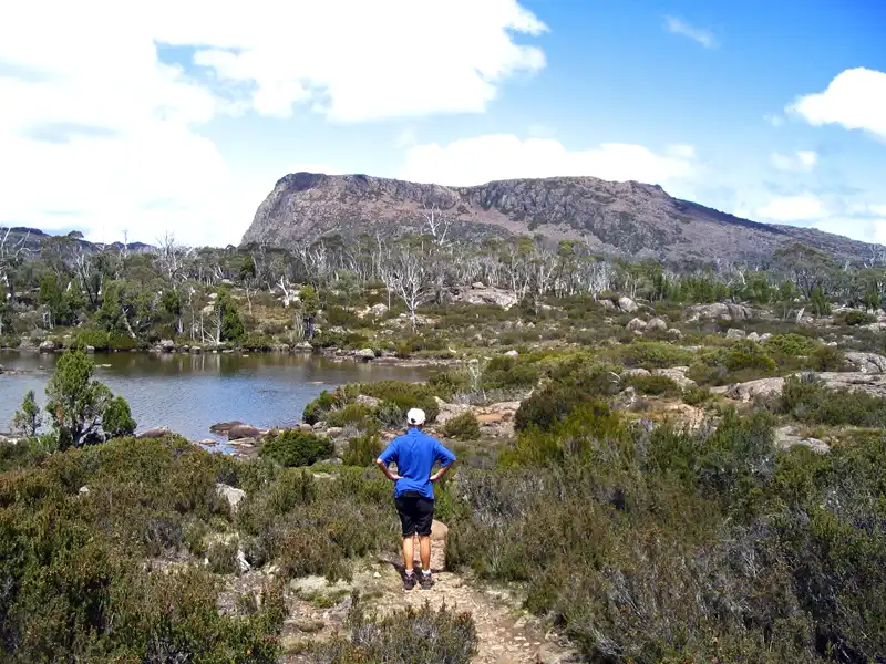
After a short break at Trapper Hut, we continued climbing until we reached a rocky plateau. There was the beautiful tarn, Solomon’s Jewels, surrounded by majestic Pencil Pines and rocks full of bright orange lichen. In the far distance the Walls – the majestic mountain which is King David’s peak. Instead of enjoying the scenery and having a picnic lunch, we had to rush back because a thunderstorm was approaching fast. Tough luck!
Back to table of contents
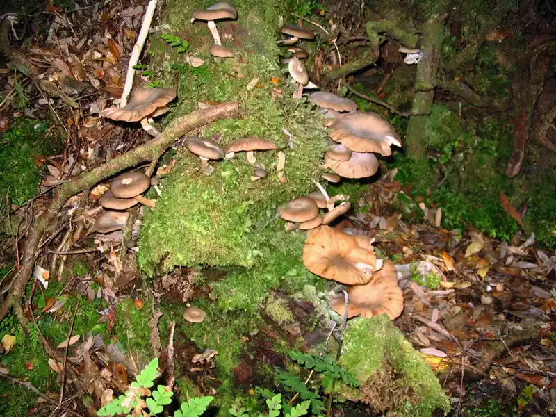
Tasmania Road Trip Itinerary – Tarkine Wilderness
The Tarkine, a vast wilderness in northwest Tasmania, is home to Australia’s largest cool-temperate rainforest. This ancient forest is rich with myrtle beech, celery-top pine, and the rare Huon pine, is a haven for nature lovers. It’s a fantastic region to explore on foot, by kayak, or on a scenic river cruise.
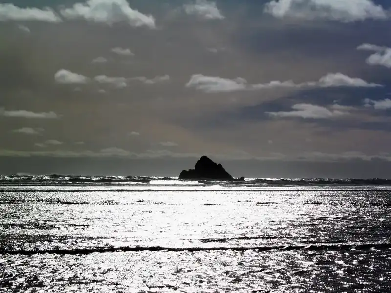
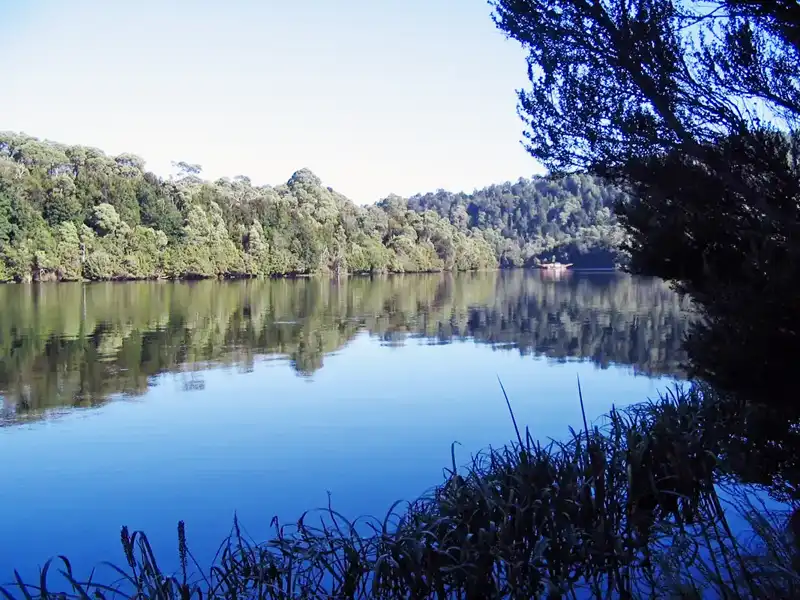
During our trip along the West Coast, we spent a few days in Arthur River, a small fishing hamlet. It’s the perfect base for exploring the wild, coastline and the pristine Tarkine wilderness. Here, you’ll have the chance to spot Tasmanian wildlife, including Tasmanian Devils, Sea Eagles, and platypuses.
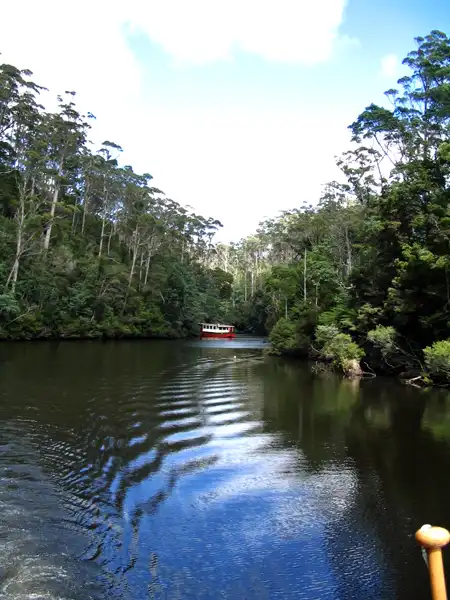
From Arthur River, we took a 5-hour cruise along the Arthur River into the Arthur Pieman Conservation area. While sailing, we passed through a rainforest of myrtles, sassafras, celery-top pine, and giant tree ferns. We also saw some white-bellied sea eagles and tiger snakes crossing the river.
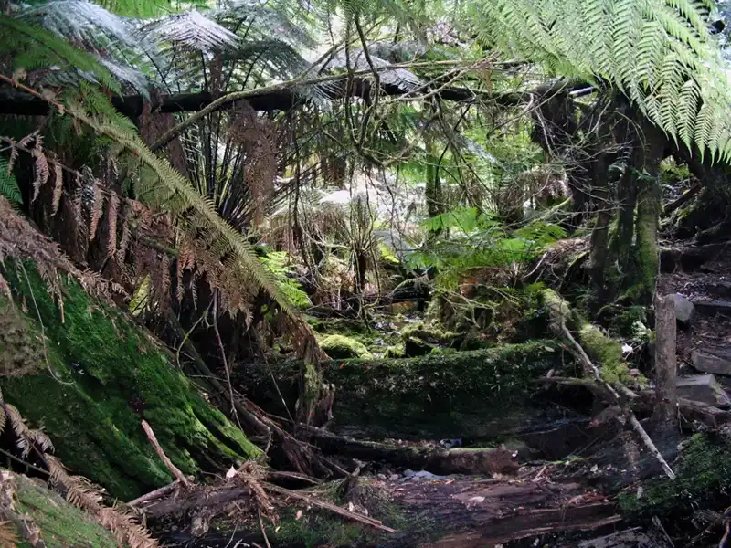
Upon arriving at Warra Landing, we went on a guided hiking tour through the pristine wilderness and were excited to see a spotted quoll and some snakes.
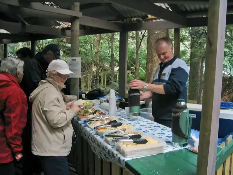
After the walk, we enjoyed a delightful lunch surrounded by the stunning wilderness before cruising back.
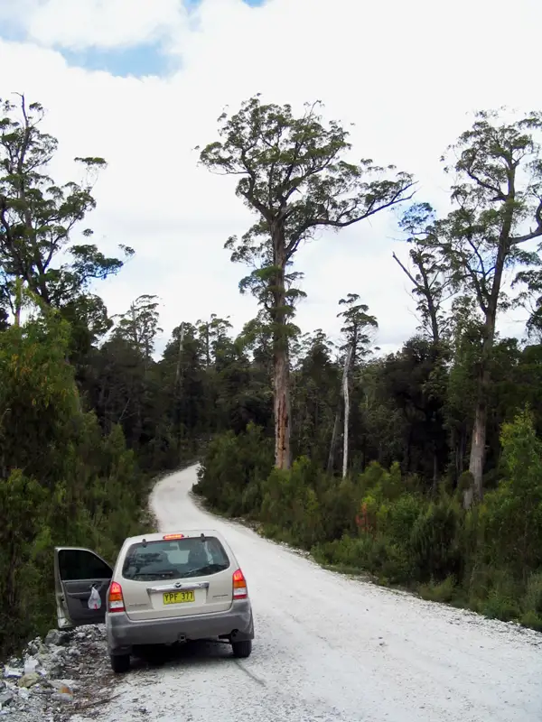
The next day, we took the Western Explorer Highway, a remote, unsealed gravel road leading to Corinna. It took us two hours to travel the 75 km road to get there because it is rough, with narrow, steep, and winding sections. Along the way, we stopped for a fantastic hike deep in the wilderness and were lucky to spot a Tasmanian Devil.
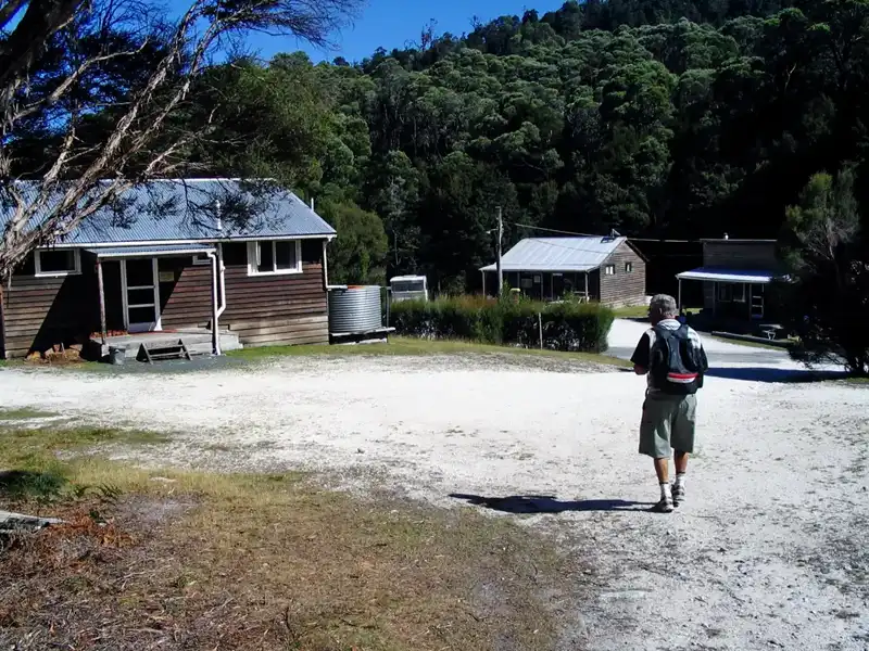
During the gold rush of the mid-1800s, Corinna was a thriving town with over 1,000 people. When we visited in 2005, we stayed in one of the old miner’s cottages, a relic of the past. The cottage had a large stove for heating water, which we used for a hot shower. The electricity was turned off at 9 p.m., and we had a good night’s sleep. Today, Corinna has transformed into a modern Tarkine Wilderness Village.
The following morning, we hiked the Whyte River Loop through the Tarkine Forest and along the Pieman River. You need to be careful where you step as there are many tree roots on the path, but worth the walk. We also spotted some pademelons and you may spot a platypus if you are lucky!
After the walk we took a ferry across the river and waved goodbye to the amazing Tarkine.
Back to table of contents
More from Tasmania: Hobart and South
More from Tasmania: Mt. Field and Cradle Mountains